Site Survey
What is actually on the ground before anything is designed — boundaries, levels, features and terrain.
Explore site surveyEngineering Survey Solutions
GeoMaarga is a Bengaluru-based engineering survey company working across Karnataka and South India. We measure ground conditions, set out construction work and map infrastructure corridors — and hand over drawings your design team can build from.
About GeoMaarga
Survey work only matters if the design team can use the result. We start from what the drawing has to show, then choose the method that gets there.
We cover the full life of a project — mapping existing ground before design, setting out during construction, and recording what was actually built at handover.
If a method will not meet your tolerance, we say so up front and propose one that will.
Start here
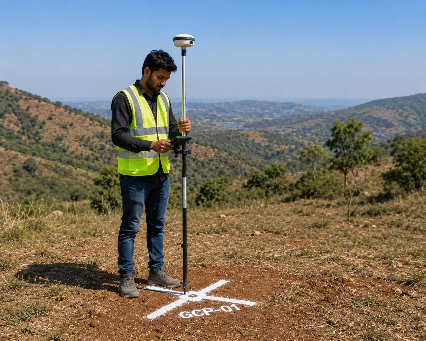
Most people arrive with a problem rather than a service name. Pick the one that sounds like yours.
Our services
Four categories covering planning, construction, aerial mapping and infrastructure corridors.
What is actually on the ground before anything is designed — boundaries, levels, features and terrain.
Explore site surveyTransferring the design onto the ground accurately, then verifying that what gets built matches it.
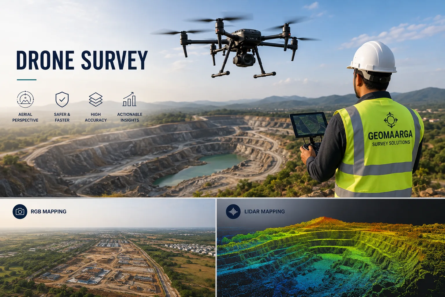
Explore construction surveyAerial mapping for large or difficult sites, where covering ground on foot would be slow or unsafe.
Explore drone surveyLinear corridor work where chainage discipline matters and errors travel a long way.
Explore infrastructure surveyWhy GeoMaarga
Achievable tolerance confirmed in writing before we mobilise. No surprises at drawing stage.
Layered CAD, coordinate schedules and reports, in whatever format your designers actually work in.
Permanent, documented control left on site, so later phases tie in instead of starting again.
Questions on method, datum or tolerance go to the person who did the work — not a sales layer.
Total station, DGPS or drone — the instrument follows the requirement, not what we happen to own.
Field and processing time quoted separately, with monsoon and access risks flagged, not buried.
How we work
What the survey is for, what tolerance the design needs, which formats your team uses.
Access, control strategy, method and programme — all confirmed in the quotation.
Control established and observed, then detail collected and checked against it.
Observations reduced and adjusted. What does not close is re-observed, not averaged away.
Drawings, coordinate schedules, report, and a record of the control left on site.
Industries
Deliverables
Every survey ends in files your design team opens and works from. These are the usual ones.
DWG or DXF, layered by feature type, in the coordinate system your design uses.
Contour drawings at your chosen interval, plus DTM and DSM surfaces for grading and volumes.
Every surveyed point listed in CSV or Excel, with descriptions and the datum stated.
A scaled, true-colour aerial image of the site you can measure directly from.
Classified LAS or LAZ from LiDAR and photogrammetric capture, ready for your software.
Method, instruments, control, datum and the accuracy actually achieved — stated as numbers.
Knowledge Centre
Plain-English explanations of the methods, so you can judge what your project actually needs.
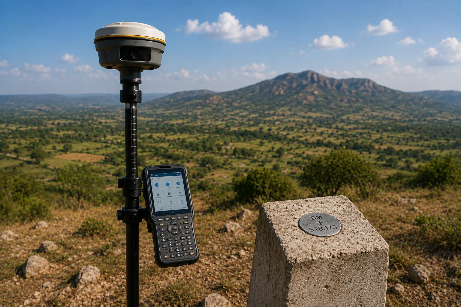
Why a phone lands within a few metres and a survey receiver within millimetres — the differential principle, in plain terms.

One needs line of sight, the other needs sky. Which your site needs depends on what is above it — and usually the answer is both.

The gap between the two runs to tens of metres in India. What to check on any drawing before you design drainage from it.
Questions
Four categories of engineering survey work: site surveys for planning and design, construction surveys for setting out and verification, drone surveys for large-area mapping, and infrastructure surveys for linear corridors such as highways, railways and transmission lines.
Our primary working area is Karnataka, with Bengaluru as our base. We also take on projects across the neighbouring states — Maharashtra, Goa, Kerala, Tamil Nadu, Andhra Pradesh and Telangana — where the scope justifies mobilising a team.
It depends on the method and the control behind it. Total station work on a well-established control network typically achieves centimetre-level relative accuracy. DGPS results vary with baseline length, occupation time and satellite geometry. Drone photogrammetry depends heavily on ground control density and flight height. We confirm the achievable accuracy against your tolerance in writing before starting — and we will tell you when a method cannot meet it.
Depending on the service: CAD drawings in DWG or DXF, PDF plans, coordinate schedules in CSV or Excel, contour drawings, digital terrain and surface models, orthomosaics, point clouds, and a written survey report recording method, control and accuracy achieved.
Field time depends on area, terrain, vegetation and the level of detail required. Processing and drafting usually add a few working days on top. We give an indicative schedule with the quotation and confirm it after inspecting the site. Heavy vegetation and monsoon conditions extend field time, and we say so rather than absorbing it silently into the programme.
The site location, approximate area or corridor length, what the survey will be used for, any accuracy or coordinate system requirement, and the file formats your design team needs. Existing drawings or land documents help us scope the work more accurately and usually reduce the price.